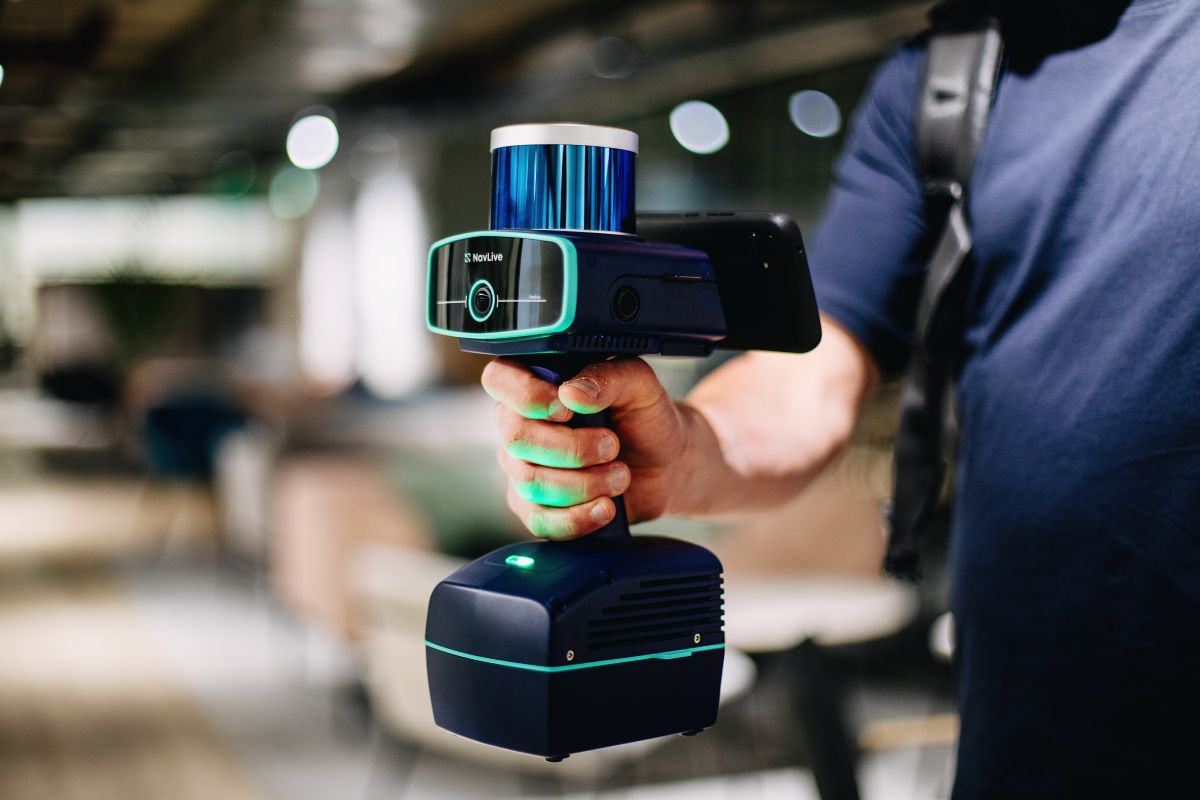
NavLive provides architects, surveyors, developers, and construction firms with rapid 2D/3D building models, accurate 1:100 surveys, and direct Scan-to-BIM integration. Our AI-powered handheld scanner uses advanced LiDAR to capture detailed point-cloud data and high-resolution images, then automatically generates floor plans, elevations, and sections within minutes. All processing is completed on the device, with data synced to the cloud for access from any location and easy import into Revit, AutoCAD, SketchUp, Archicad, and other platforms. Since launching in 2025, NavLive has received the AI Development Excellence Award (sponsored by HP and NVIDIA) at Trimble Dimensions and won the Cemex Ventures Construction Startup Award from a field of more than 560 applicants. NavLive helps teams begin projects sooner, reduce delivery times, and improve competitiveness in bids.